
A podcast for geospatial people. Weekly episodes that focus on the tech, trends, tools, and stories from the geospatial world. Interviews with the people that are shaping the future of GIS, geospatial as well as practitioners working in the geo industry. This is a podcast for the GIS and geospatial community subscribe or visit https://mapscaping.com to learn more
A podcast for geospatial people. Weekly episodes that focus on the tech, trends, tools, and stories from the geospatial world. Interviews with the people that are shaping the future of GIS, geospatial as well as practitioners working in the geo industry. This is a podcast for the GIS and geospatial community subscribe or visit https://mapscaping.com to learn more
Episodes

Wednesday Feb 12, 2020
PostgreSQL - An open source geospatial database for GIS practitioners
Wednesday Feb 12, 2020
Wednesday Feb 12, 2020
Episode #46 - John Bryant the founder of Mammothgeospatial introduces us to the power of an opensource SQL database called PostgreSQL. We talk about some advantages that this database has over flat files and why you might want to invest time and energy into learning more about relational databases and the Structured Query Language "SQL"
This podcast is sponsored by OpenCage Geocoder
OpenCageData does not make maps or provide routing information, they focus on turning address or place name to coordinates and coordinates into addresses or place names and they are amazing at it! If you need help with geocoding OpenCage Geocoder what you are looking for.
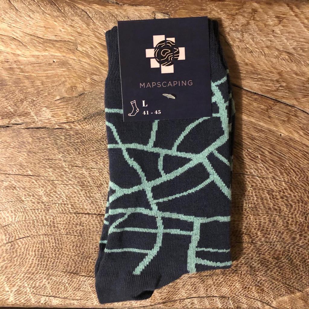
We made some socks for you!

You are more than welcome to reach out to me on social media, I would love to hear from you!
No comments yet. Be the first to say something!